Satellite images reveal extent of destruction in the Gaza Strip
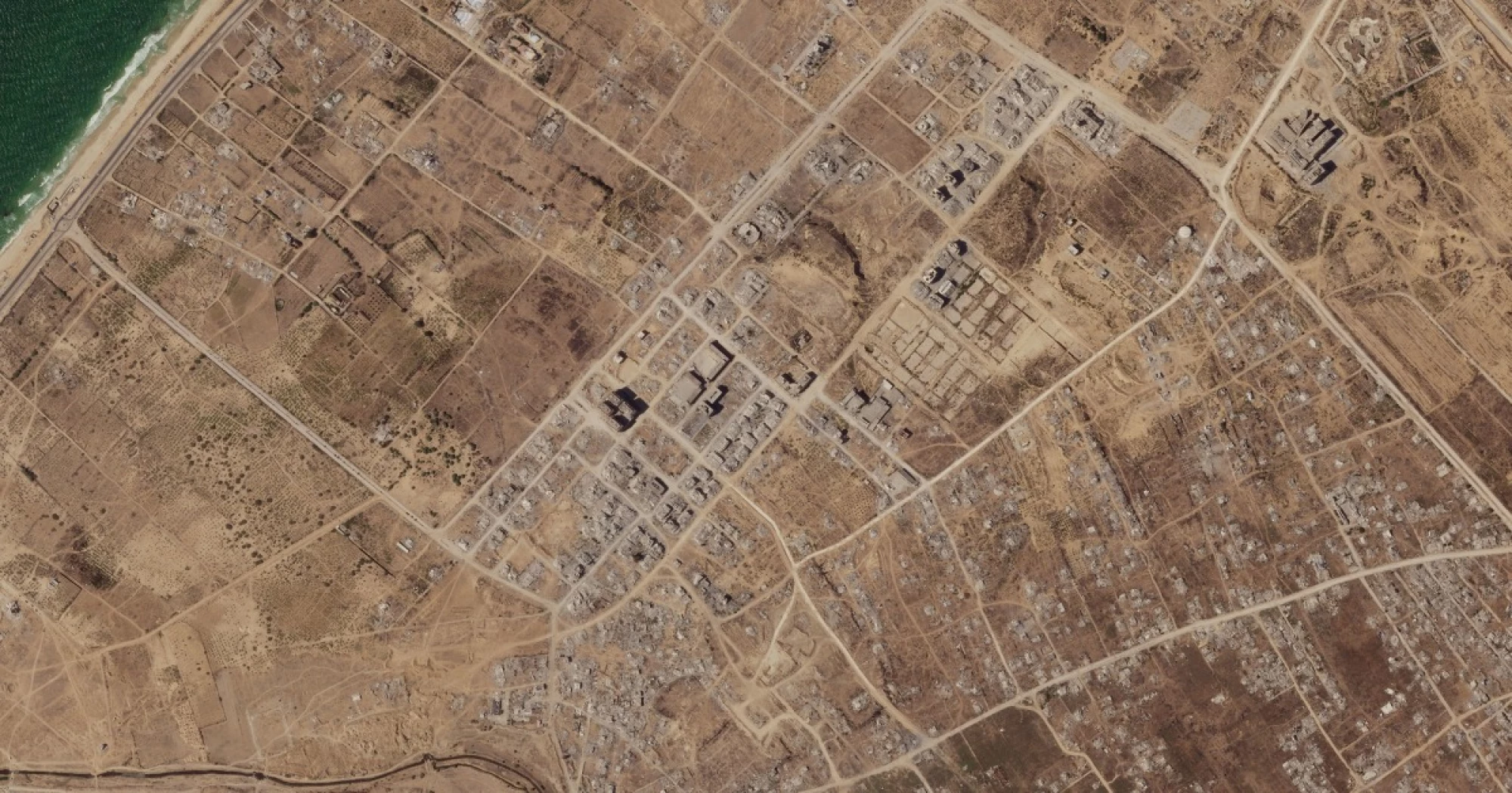
New satellite imagery lays bare the sheer scale of the destruction in the Gaza Strip with two years of Israeli bombardment having turned much of the landscape into a wasteland
New satellite imagery lays bare the sheer scale of the destruction in the Gaza Strip with two years of Israeli bombardment having turned much of the landscape into a wasteland.
The images, sourced from the San Francisco-based imaging company Planet Labs PBC, show the Palestinian enclave from when the Israel-Hamas war began after the Oct. 7, 2023, terrorist attack on Israel and from last month.
An estimated 80% of Gaza’s structures have been damaged or destroyed in that time, according to the United Nations agency for Palestinian refugees.
https://www.nbcnews.com/world/gaza/satellite-images-destruction-gaza-strip-rcna236089
Rating: 5