Deep cuts to hurricane data could leave forecasters in the dark
Forecasters are set to lose some of their sharpest eyes in the sky just a few months before Atlantic Hurricane season peaks
Forecasters are set to lose some of their sharpest eyes in the sky just a few months before Atlantic hurricane season peaks when the Department of Defense halts a key source of satellite data over cybersecurity concerns.
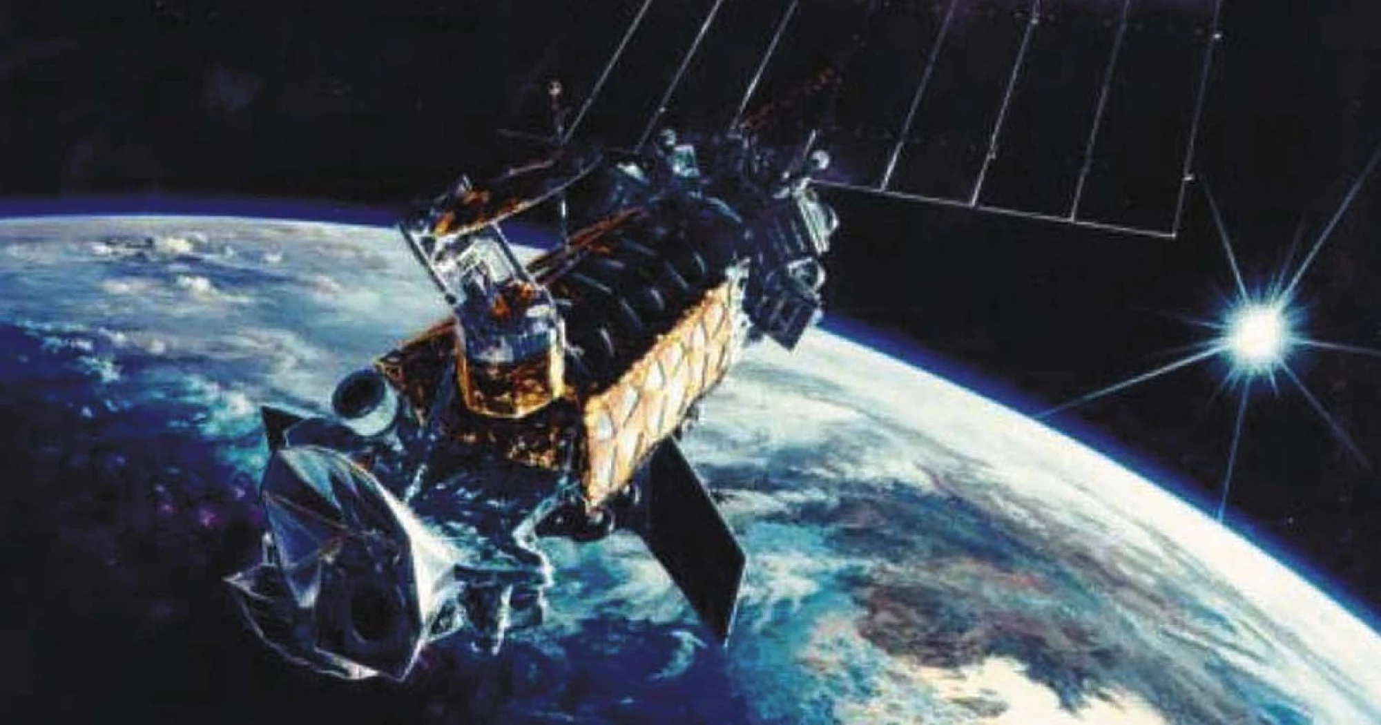
The data comes from microwave sensors attached to three aging polar-orbiting satellites operated for both military and civilian purposes. Data from the sensors is critical to hurricane forecasters because it allows them to peer through layers of clouds and into the center of a storm, where rain and thunderstorms develop, even at night. The sensors don’t rely on visible light.
Losing the data — at a time when the National Weather Service is releasing fewer weather balloons and the agency is short on meteorologists because of budget cuts — will make it more likely that forecasters miss key developments in a hurricane, several hurricane experts said. Those changes help meteorologists determine what level of threat a storm may pose and therefore how emergency managers ought to prepare. Microwave data offers some of the earliest indications that sustained winds are strengthening inside a storm.
“It’s really the instrument that allows us to look under the hood. It’s definitely a significant loss. There’s no doubt at all hurricane forecasts will be degraded because of this,” said Brian McNoldy, a hurricane researcher and senior research associate at the University of Miami’s Rosenstiel School of Marine, Atmospheric, and Earth Science. “They’re able to detect when an eye wall forms in a tropical storm and if it’s intensifying — or rapidly intensifying.”
Researchers think rapid intensification is becoming more likely in tropical storms as the oceans warm as a result of human-caused climate change.
Rating: 5