Under water: How FEMA’s outdated flood maps incentivize property owners to take risks
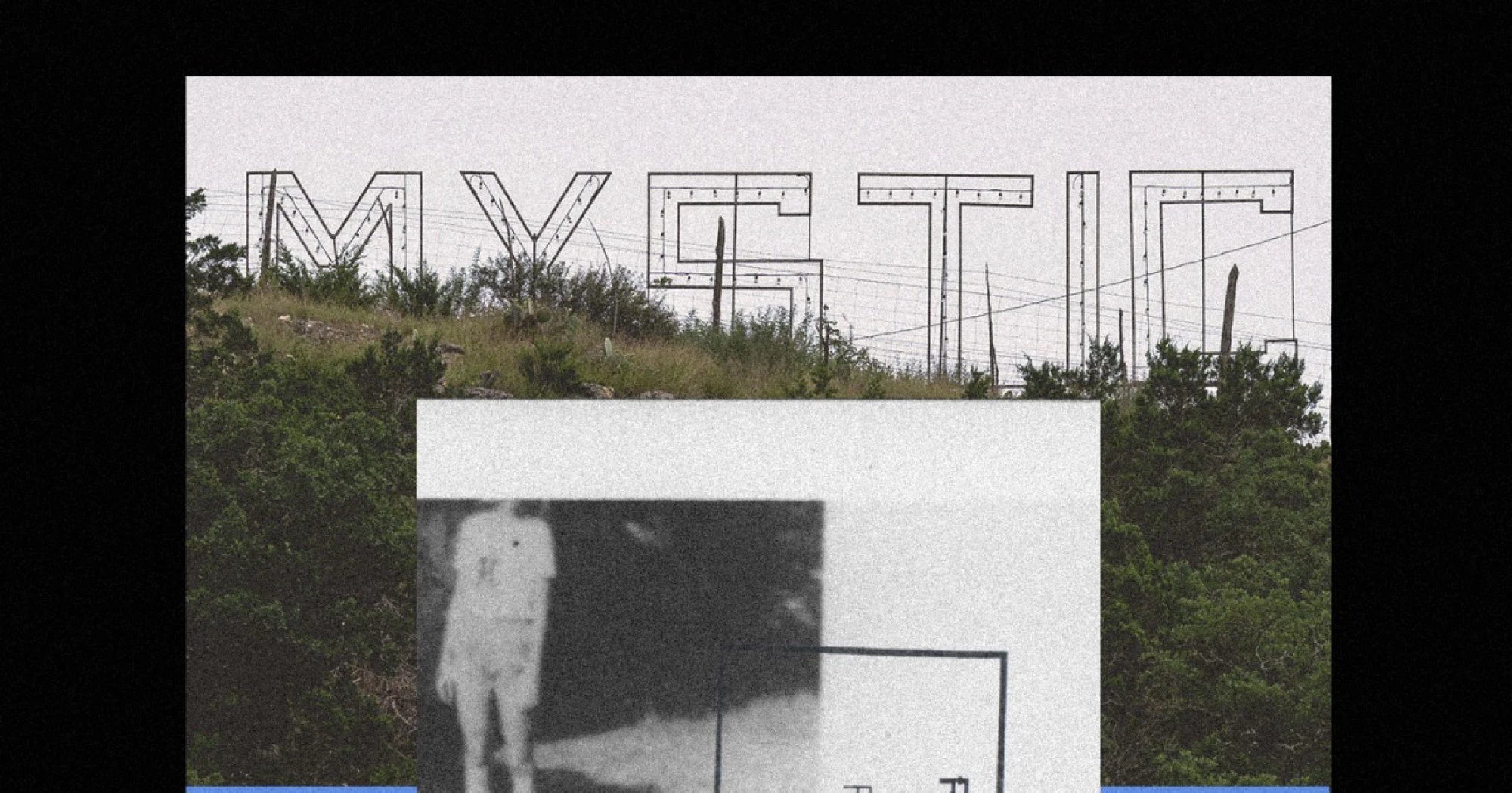
When Camp Mystic wanted to build in Central Texas areas considered high risk on Federal Emergency Management Agency flood insurance maps, it did what many property owners do: It hired engineers to take a closer look
When Camp Mystic wanted to build in Central Texas areas considered high risk on Federal Emergency Management Agency flood insurance maps, it did what many property owners do: It hired engineers to take a closer look.
FEMA’s flood maps are often outdated and can be inexact, particularly in areas where the agency hasn’t performed detailed studies. This left an opening for Camp Mystic to generate a more precise analysis of the terrain and to ask FEMA to change how its flood zones were designated.
This was a common practice. From 2013 to 2020, the overnight girls camp asked FEMA to redesignate the flood risk for 65 of its buildings at its sprawling facilities in Texas’ Guadalupe Valley — more buildings than previously known.
The government agency told NBC News that in that period of time it altered the status of 60 buildings, changing the risk designations of both decades-old buildings and its new construction from “high” to “moderate” or “low,” on paper. Five buildings remained in high-hazard zones.
This summer, on July 4, a flood beyond anyone’s expectations killed 28 campers and staffers, inundating many of the Camp Mystic buildings.
Rating: 5